Louisiana Map v 1.0

0/5,
0
голоса
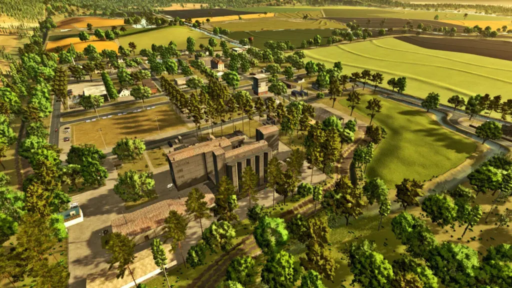
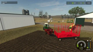
This map depicts the actual topography of an area in the US state of Louisiana that is mostly recognized for its agricultural concentration. The region supports cattle husbandry and the production of maize for silage in addition to the large areas devoted to rice cultivation. For anyone wishing to investigate the intricacies of agricultural production in this region of the nation, the meticulously rendered environment offers an immersive and genuine experience that faithfully captures the local topography.
There are four fields that may be purchased.
Andrade ML, Renegados Modding, and ML Studio are credited.
There are four fields that may be purchased.
Andrade ML, Renegados Modding, and ML Studio are credited.
Скачать файлы последней версии
Версия: v 1.0Обновленный: 1 год назад
Общий размер: 150.19 MB
FS25_Louisiana_Map_fs25planet.zip
direct скачать
· 150.19 MB
· добавлено 1 год назад
Этот файл проверен антивирусом и является безопасным.
Подробнее
Вам также может понравиться »


_fs25planet.webp)
0 Комментарии
Комментариев нет. Будьте первым, кто прокомментирует!